Satellite coordinate transformation, the process of converting coordinates from one reference system to another, involves calculations such as translations, rotations, and scaling to account for differences in origins, orientations, and the Earth’s shape, making raw satellite data compatible with local maps and project requirements.
For accurate tracking of satellites, satellite coordinate transformation is very critical. This is because of the movement of satellites in orbit as Earth rotates, and as a result, a single static coordinate system is insufficient to describe the satellites’ movement in orbit.
Depending on their purposes, satellites use different coordinate systems. Coordinate transformations convert satellite data between different reference systems, ensuring consistent and precise positioning. In addition, satellite coordinate transformation bridges the gap between satellite-derived data and the various local reference systems, ensuring that the data is correctly georeferenced and usable for analysis and mapping.
As humanity ventures further into space, achieving the future goals of in-situ resource utilization (ISRU), in-orbit servicing, deep space station, asteroid mining, planetary protection, and the potential for discovering extraterrestrial life is a function of using correct coordinate systems and coordinate transformation.
Coordinate transformation, the process of applying mathematical functions to convert coordinates from one coordinate system to another coordinate system, helps to simplify complex problems, align datasets, and enable meaningful analysis by using the most appropriate coordinate system for a specific space mission analysis task.
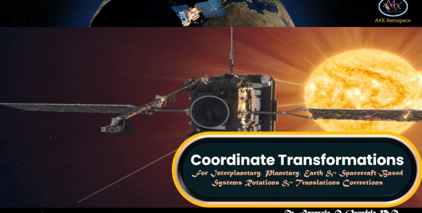
This course, “Coordinate Transformations: For Interplanetary, Planetary, Earth & Spacecraft-Based Systems Rotations & Translations Corrections”, is divided into eight modules.
a) Module 1: Coordinate Systems & Transformations:
b) Module 2: Earth Center-Inertial (ECI) Frame to Earth Center Earth-Fixed Frame (ECEF) & Vice Versa:
c) Module 3: Position & Velocity Vectors to Classical Orbital Elements & Vice-Versa:
d) Module 4: Transformation Between Topocentric Coordinate System (SEZ) and ECI Coordinate Frame:
e) Module 5: Transformations between ECEF and ENU Coordinates:
f) Module 6: Roll-Pitch-Yaw Transformation:
g) Module 7: Example Questions:
h) Module 8: Exercises:
Module 3 Section 1: Position & Velocity Vectors to Classical Orbital Elements
Module 3 Section 2: Classical Orbital Elements to Position & Velocity Vectors
Module 4 Section 1: Satellite Ground Tracking Station
Module 4 Section 2: Orbit Determination Using Ground Station Observation
Module 4 Section 3: Case 1: Topocentric Coordinate System (SEZ) to ECI Coordinate Frame (Symmetrical Earth Model)
Module 4 Section 4: Case 1: Case 2: Topocentric Coordinate System (SEZ) to ECI Coordinate Frame (Non-Symmetrical Earth Model)
Module 6 Section 1: Roll-Pitch-Yaw Rotations of Aircraft & Spacecraft
Module 6 Section 2: Transformation of Roll-Pitch-Yaw
Module 6 Section 3: Applications of Roll-Pitch-Yaw Transformation