In the 16th and 17th centuries, the Scientific Revolution, which led to the formation of modern science, used reason and empiricism to better understand the natural world, while in the 18th century, the Enlightenment challenged the traditional authority and applied the principles to human society.
The Scientific Revolution is the foundation of the Enlightenment, which made use of the Revolution’s lens of reason, observation, and natural laws. The Revolution demonstrated that the Universe is governed by natural laws and not just an intangible entity controlled by divine forces.
Notable figures such as Nicolaus Copernicus, Galileo Galilei, Isaac Newton, and René Descartes challenged ancient Greek philosophy and demonstrated that knowledge could be gained through human reasoning and empirical study. Based on the early scientists’ need to have a better understanding of the universe beyond the Earth’s atmosphere and to study the movements of the Sun, Moon, planets, comets, and asteroids, as a result, different frames of reference and coordinate systems were developed.
A reference frame, which could be inertial, non-inertial, or body fixed, is specified using three mutually orthogonal ordered sets, which have unit-length direction vectors with a common reference center point. To specify a mechanism for the location of points within the reference frame, a coordinate system is employed.
Significantly, through space exploration and with the help of the mathematical construct of the interplanetary, planetary, Earth-based and satellite-based reference frames & coordinate systems, humanity has been able to study celestial bodies such as the stars, planets, and galaxies.
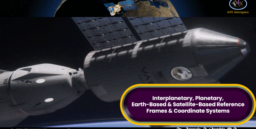
For successful interplanetary, planetary, communication, earth observation, and scientific missions, accurate location and orientation definitions are very crucial. To achieve these tasks, space mission engineers rely on various reference frames and coordinate systems, each of them tailored to different scales and applications.
This course is divided into four categories: Interplanetary Coordinate Systems (Heliocentric Ecliptic Coordinate System), Planetary Coordinate System (Planetocentric Coordinate System Planetographic Coordinate System), Earth-Based Coordinate Systems (Geocentric Equatorial Coordinate System Earth-Centered, Earth-Fixed (ECEF), Right Ascension Declination Coordinate System, and Topocentric-Horizon Coordinate System), and Satellite-Based Coordinate Systems (Perifocal Coordinate System Satellite Coordinate System Equinoctial Coordinate System).
In addition, the course is divided into nine modules.
Module 1: Heliocentric Ecliptic Coordinate System:
v This module presents The Copernican Heliocentric Universe Model, Heliocentric Coordinate System, and Applications of Heliocentric Coordinate System.
Module 2: Planetary Coordinate System:
v In this module, different planetary coordinate systems such as Planetocentric Coordinate System, Planetographic Coordinate System, and Applications of Planetary Coordinate System, are described.
Module 3: Geocentric Equatorial Coordinate System:
v This module describes Geocentric Equatorial Coordinate System (GECS) and its various applications.
Module 4: Earth-Centered, Earth-Fixed (ECEF) Coordinate System:
v Earth-Centered, Earth-Fixed (ECEF) Coordinate System and its important applications in various space mission designs are elaborated.
Module 5: Right-Ascension-Declination Coordinate System:
v This module highlights the significance of Right-Ascension-Declination Coordinate System, and its uses by scientists and space mission designers.
Module 6: Topocentric-Horizon Coordinate System:
v This module presents Topocentric-Horizon Coordinate System and its applications.
Module 7: Perifocal Coordinate System:
v Perifocal coordinate system and its applications in various missions are described in this module.
Module 8: Satellite Coordinate System:
v Satellite Coordinate System and its applications are highlighted in this module.
Module 9: Equinoctial Coordinate System:
v This module highlights Equinoctial Coordinate System and its applications.
Learning Objectives:
In this module, you will learn about:
Module 1 Section 1: The Copernican Heliocentric Universe Model
Module 1 Section 2: The Heliocentric Coordinate System
Module 1 Section 3: Applications of Heliocentric Coordinate System
Module 2 Section 1: Planetocentric Coordinate System
Module 2 Section 2: Planetographic Coordinate System
Module 2 Section 3: Applications of Planetary Coordinate System
Module 3 Section 1: Geocentric Equatorial Coordinate System (GECS)
Module 3 Section 2: Applications of Geocentric Equatorial Coordinate System (GECS)
Module 5 Section 1: Right-Ascension-Declination Coordinate System
Module 5 Section 2: Applications of Right-Ascension-Declination Coordinate System